Showing posts with label planet4. Show all posts

Monday, June 5, 2017

Planet 4 - Part 02 - Let's make some noise!

A decorative image of a map created using splat noise.

Introduction

To create earth-like planets, it is useful to start off with some continents.

When creating continents in simulation-oriented PCG, one customarily starts with a noise field and then apply simulated physical forces to make it more realistic.  In this article I will explain the workings and merits of a kind of noise function that I call "splat noise".

A Bit of History

A long, long time ago there were space games where planets were generated using a technique known as the fault-line technique.  Paul Bourke describes it here (scroll down to "Modelling fake planets"), but I will give a short summary in case that link goes dead some day.

The process is really simple: take a sphere, increase the altitude on a randomly chosen half and repeat as necessary.  The edges between the pairs of halves were referred to as fault-lines, hence the name of the technique.

Paul points out that this way always ends up with a perfectly anti-symmetric planet, and then he solves this by freeing the cutting plane from having to pass through the center of the sphere; each one now passes through a random point.  This unfortunately increases the number of iterations required to achieve the same level of detail.

He also demonstrates using it on a plane, and this is where I started when I invented splat noise.  My first problem with the planar fault-lines noise was that it did not wrap around at the edges.  Using a straight line that wraps around would be the obvious solution, but didn't work for various reasons that became apparent very quickly.  And the obvious solutions to these cause even further problems of similar difficulty.

The Invention of Splat Noise

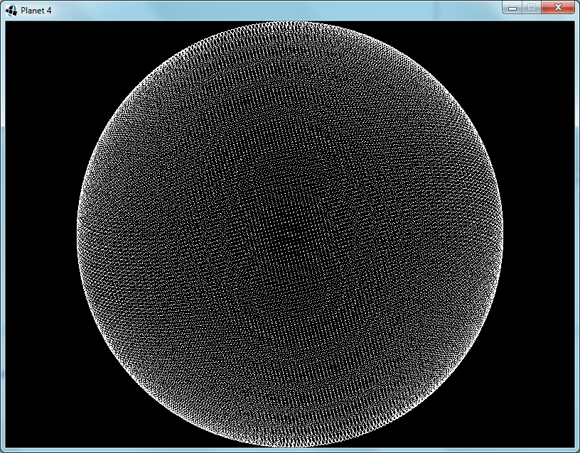
So I decided to opt for a non-obvious solution instead.  I used circles instead of lines and it worked just as well.  Better even.  The fact that the effect of a circle is localized also opens up many new possibilities for further improvements.  One can vary the sizes of the circles, cluster them together, distribute them more evenly, optimize the processing, give the circles other profiles, use finite shapes other than circles...  The possibilities are endless and I often found the side-effects useful as well.

One of the things that I found surprising (at first) was that the horizontal profile of the splats affected the shapes visible vertically in the generated noise.  For instance, compare figures 1 and 2:

Figure 1: A map generated with cylindrical splats.  Note the rough edges.Figure 2: A map generated with steep truncated cone splats.  Note the slightly smoother features.
Fig 1: Simple CylindersFig 2: Steep Truncated Cones
These figures show that even a slight smoothing of the circle (or cylinder) gives a much smoother output.  I expect that convoluting the splat kernel is equivalent to convoluting the output.  Since the cylindrical kernel is mathematically simple, one can convolve it more precisely and much quicker than one can convolve the output noise.

A more surprising effect was that of varying the kernel size.  As seen in figure 3, below:

Figure 3: A map generated with randomly sized cylinders.  Despite the random arrangement of splats, this map now has both islands and continents.
Fig 3: Randomly Sized Cylinders
One would expect that the uniform randomness of the distribution would nullify the effect of randomly varying the kernel size.  However, I have found that it does increase the variety of the sizes of the features generated.  In figure 3 one can see that it now forms both continents and islands.
 
In regard to figure 4: I used axis-aligned squares as the kernel.  Despite the individual squares being small, they combine into long straight lines crisscrossing the output.  Also, none of the original squares are discernible.

Figure 4: A map generated with axially-aligned block splats.  It has strong horizontal and vertical stripes, yet each stripe has a smooth profile.
Fig 4: Axially-Aligned Blocks

Further Observations

Other useful techniques that I have discovered include:
  • Control the placement of continents by overlaying this noise over an existing map.
  • The "existing map" mentioned above could be as simple as just random squiggles with a brush.
  • Combine two splat noise outputs to create a distortion vector map to add detail to a smooth output field from some other algorithm without affecting the range of values.
  • To calculate a section of an infinite world using only a finite number of kernels, divide the world into a grid, each with its own seed and providing only nearby kernel positions.

Conclusion

The Planet 4 project will certainly be using a spherical variant of splat noise to create its initial conditions, taking this algorithm full circle; back to its roots, but improved by the journey.

Friday, November 29, 2013

Planet 4 - Part 01 - Making a Mesh

Introduction to this series is here.

Phase 1 is initiated.  I will adhere to a keep-it-simple approach during development.  So setting up the window went very quickly; no config files, no nothing.

The first step was to create the nodes in a spherical arrangement.  I divided the space into unit cubes and looped through them.  Where the innermost and outermost vertices of the cube was on opposite sides of the surface, I placed a node.

Each node represents a surface of about 128m×128m.  Since they're neither square nor uniform the area differs from node to node.  I experimented with different sized planets a bit and decided that radius 60 makes a medium-sized planet.  The circumference is about 48km, which is definitely much further than I have ever traveled in Minecraft.  What's the point of an infinite world, then?

Fig. 1: Radius 60 Sphere - Each node represents a 128m×128m area
Next I move the nodes so that they are no longer on the sphere, but rather arranged in a grid.  This will make noticing and understanding bugs much easier.
Fig. 2: Nodes are now aligned to a grid for debugging visualization
I reduce the size of the planet to radius 5, implement an algorithm for finding their nearest neighbours and link them up.  Ideally, I would have used Delaunay triangulation, but I decided to keep it simple instead; I have never done Delaunay triangulation before.  So I looped through the nodes and checked adjacent grid points for neighbours to link to.  The first time I only checked in the positive directions.  Figure 3 shows the inadequacy of this optimization:
Fig. 3: Added node-to-node links - My first bug is apparent
A simple fix is to just check the negative directions as well.  This does slow it down a bit though.  There is a faster way, but it is complicated, so I stuck to the simple way.
Fig. 4: Fixed the links bug
While my current algorithm does find every node that will contain a part of the sphere's surface, this causes some foreseeable problems, in that the double layer in some regions will stop the erosion algorithm from working correctly.  I take a cross section to see what it looks like (Fig.5) and see two possible solutions.  I could get rid of all diagonal links, or I could remove the extra layer before linking up the nodes.
Fig. 5: Cross section shows double layering
I decided to implement the node removal method, since this will simplify the eventual creation of the zones.  Each node that has three axis-aligned neighbours that are closer to the center is removed.  The cross section looks okay, so I switch back to the full sphere view:
Fig. 6: Removing the extra layer is not working as intended
That's no sphere!  I tried a few different techniques, with no positive results.  Eventually I realize the problem:  When I remove a node I change the circumstances of the surrounding nodes.  Near the axis-aligned planes that pass through the sphere's origin this causes that some nodes will no longer be removed.  The solution is to keep a set of nodes that need to be removed, and only remove them after all have been found.
Fig. 7: It works now
And finally I put the nodes back into their original spherical arrangement.
Fig. 8: Off the grid and back to a sphere

Planet 4 - Part 00 - Introduction

Suddenly, I'm working on making a planet.  Again.

The first attempt was based on an article I read about a R.O.A.M.-based level-of-detail algorithm.  I focused so much on the data structures that I never got to the graphics, and so I lost interest.

The second attempt was to take a square grid, stretch and fold it into an octahedron and tesselate it into a sphere.  Though I managed to create an undistorted heightmap with continents, when I got to erosion I decided that distortion is too complicated.

The third attempt was to create a Minecraft-like flat world of cubes that wrap around at the edges, instead of being infinite.  At the time I was planning on adding "seamless" space travel.  I spent a lot of time working on finding a transformation that would allow the planet to be flat when you are close, but round when you are flying through space.  All the possible transformations had the flaw that the space-space had a two-to-one mapping to the planet-space; I.e, when you take off from a planet you end up in two locations in space.  What a mess!

In this new attempt, the fourth, the planet will be round and made up of voxels, using a technique called dual-contouring to allow diagonal and curved shapes.  The same technique was used by Miguel Cepero in his Voxel Farm engine, which is a component of the ForgeLight Engine being used in the EverQuest Next games.

My plan of action for Phase 1:
  1. Get the basic framework up and running, so that I can debug right from the beginning.
  2. Make a spherical mesh with reasonably evenly distributed vertices/nodes.  Each node represents a cuboid zone of voxels (a.k.a. a chunk).  Each edge represents a connection between adjacent zones.
  3. Implement large-scale emulation and simulation procedures to generate the zone generation parameters.  E.g. continents, plate tectonics, water erosion, formation of rivers, lakes and oceans, temperature, prevailing winds, rainfall, and seasonal effects.
  4. Serialization and deserialization of the zone generation parameter mesh.
  5. Implement generation of zone voxel data from parameters using emulation and simulation of small-scale processes.  This is only triggered when the camera comes close enough to the zone.
  6. Alteration of the voxels.  E.g. digging, building, explosions, eruptions, fluids.
  7. Serialization of differences between the current zone voxel data and the procedural voxel data.
  8. Automatic loading and unloading of zones.
  9. Phase 2: Fancy graphics.
Next post: Part 01